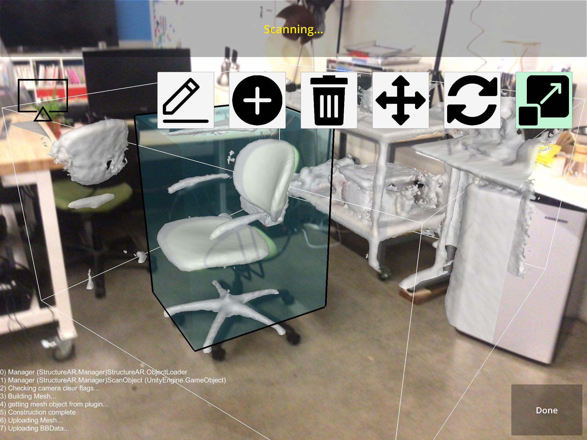
Augmented Annotations
with Vedant Saran and Avideh ZakhorA mobile app that uses augmented reality (AR) to enable 3D dataset creation. Users use an iPad and depth sensor to scan environments and annotate objects within the scene. Our aim was to speed up the traditional process of 3D dataset cretion, which consists of separate scanning and annotation steps.
Published at the ISPRS Geospatial Week 2019 conference.

